High-Frequency Acoustic Recording Package (HARP)
In the Field: 2021 Gulf LISTEN Cruise
8
September 2021
by Kait Frasier


Onsite Operations
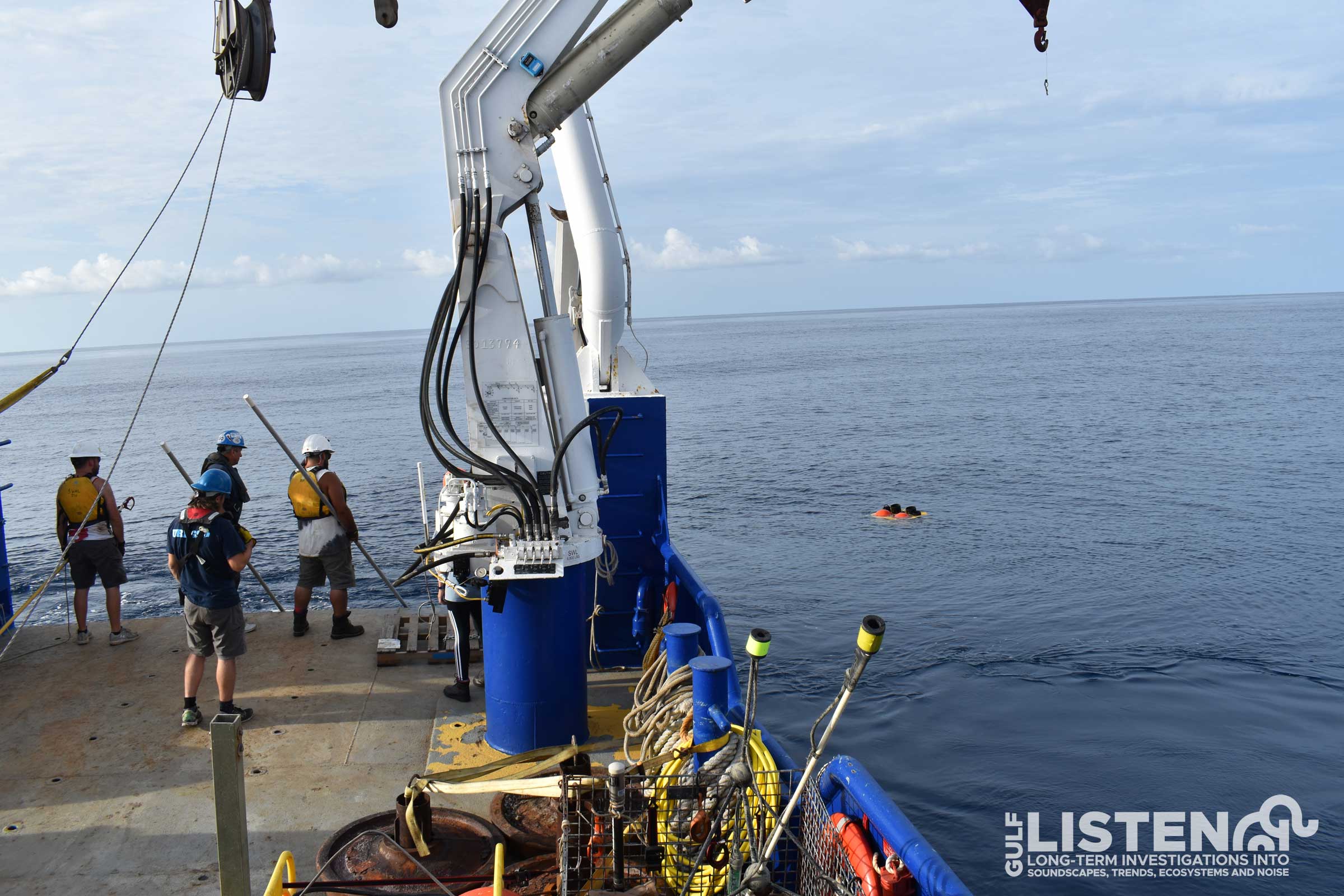
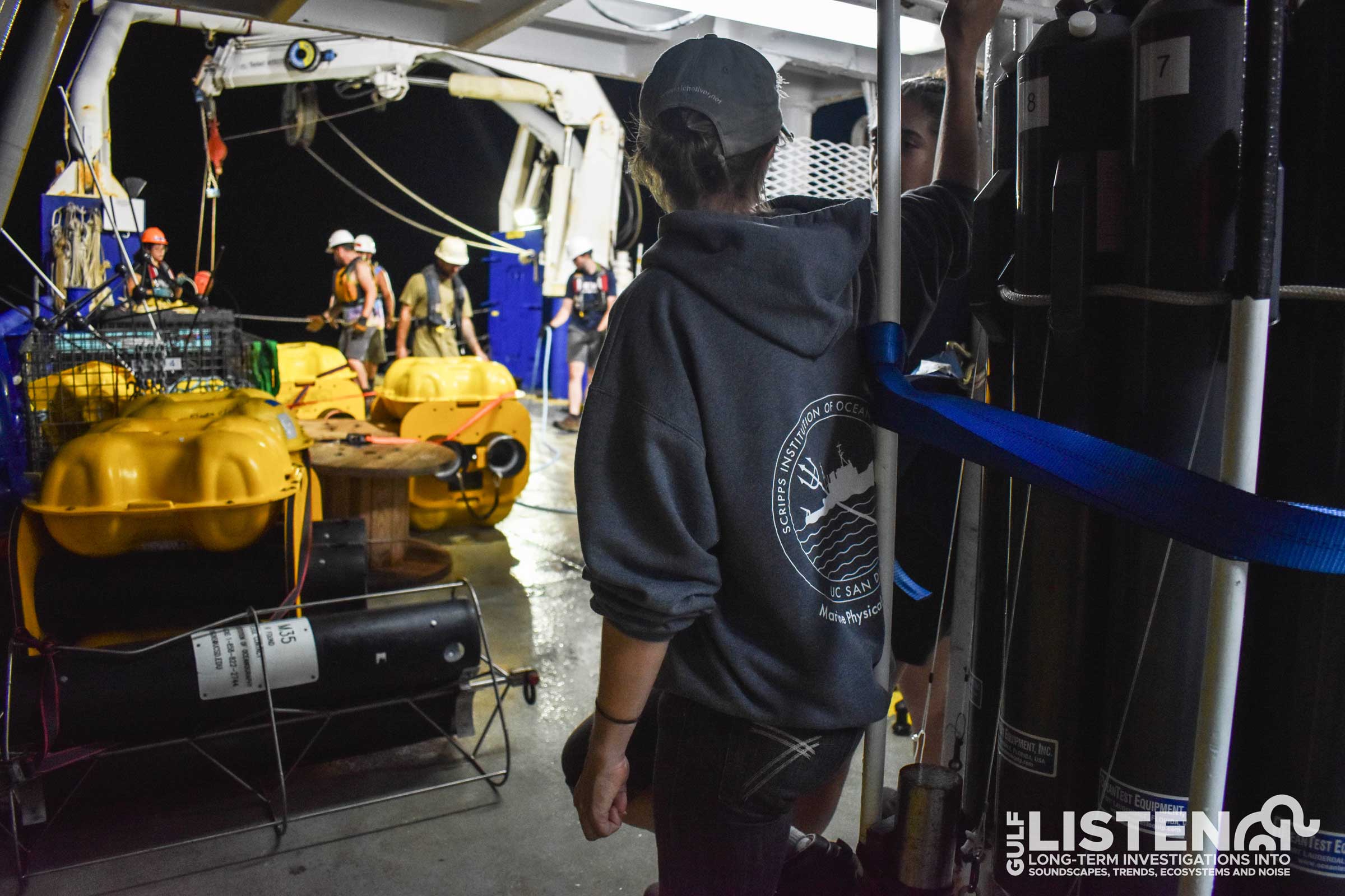
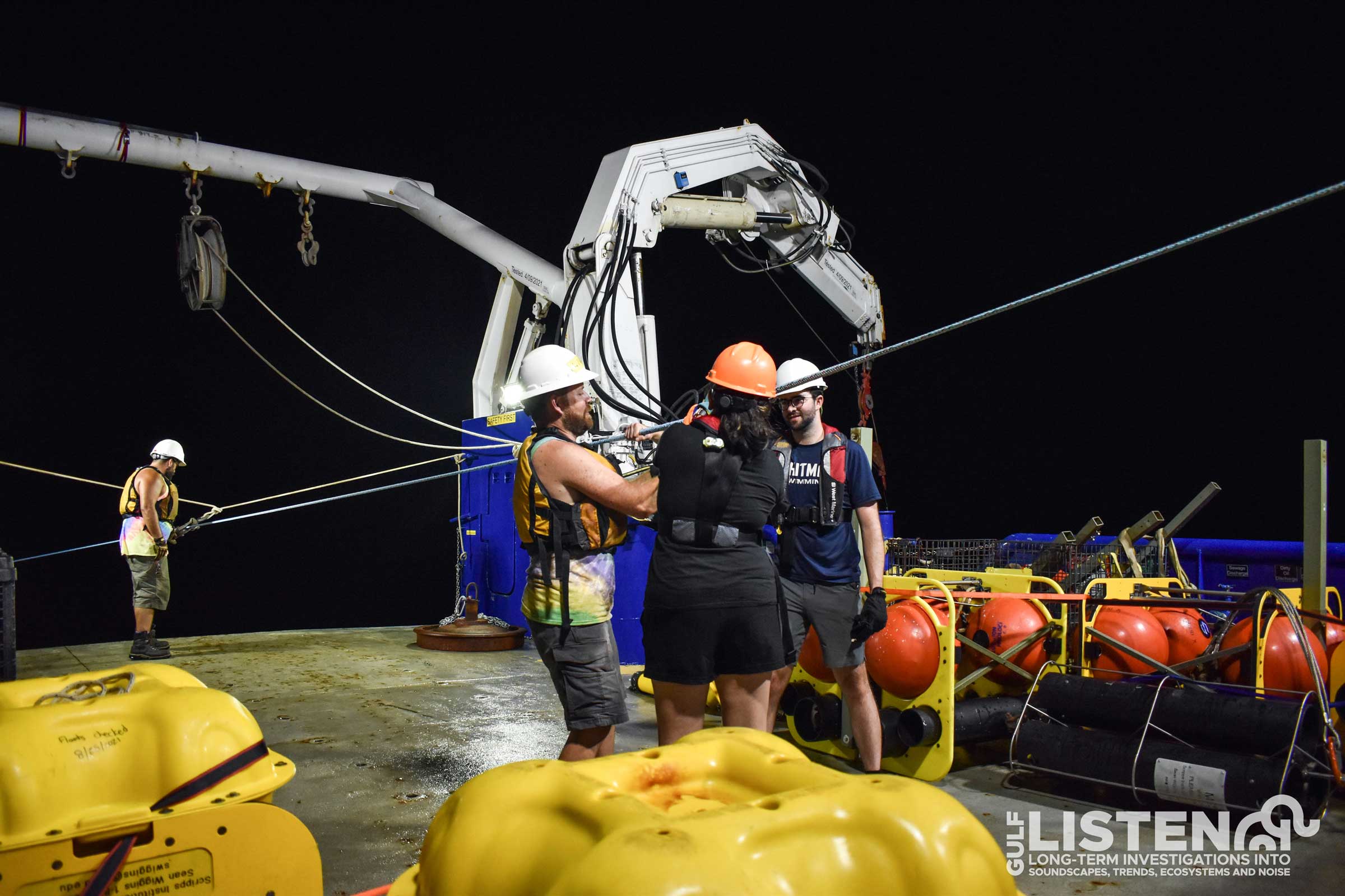
We are traveling to 19 acoustic data collection sites as we circumnavigate the Gulf of Mexico and our goals at each site look a little different. We use High-Frequency Acoustic Recording Packages (HARPs) and depending on the research questions we’re asking, we might recover a HARP, deploy a new HARP, or do both! Let’s take a deeper dive into the steps required for deploying our underwater recorders.
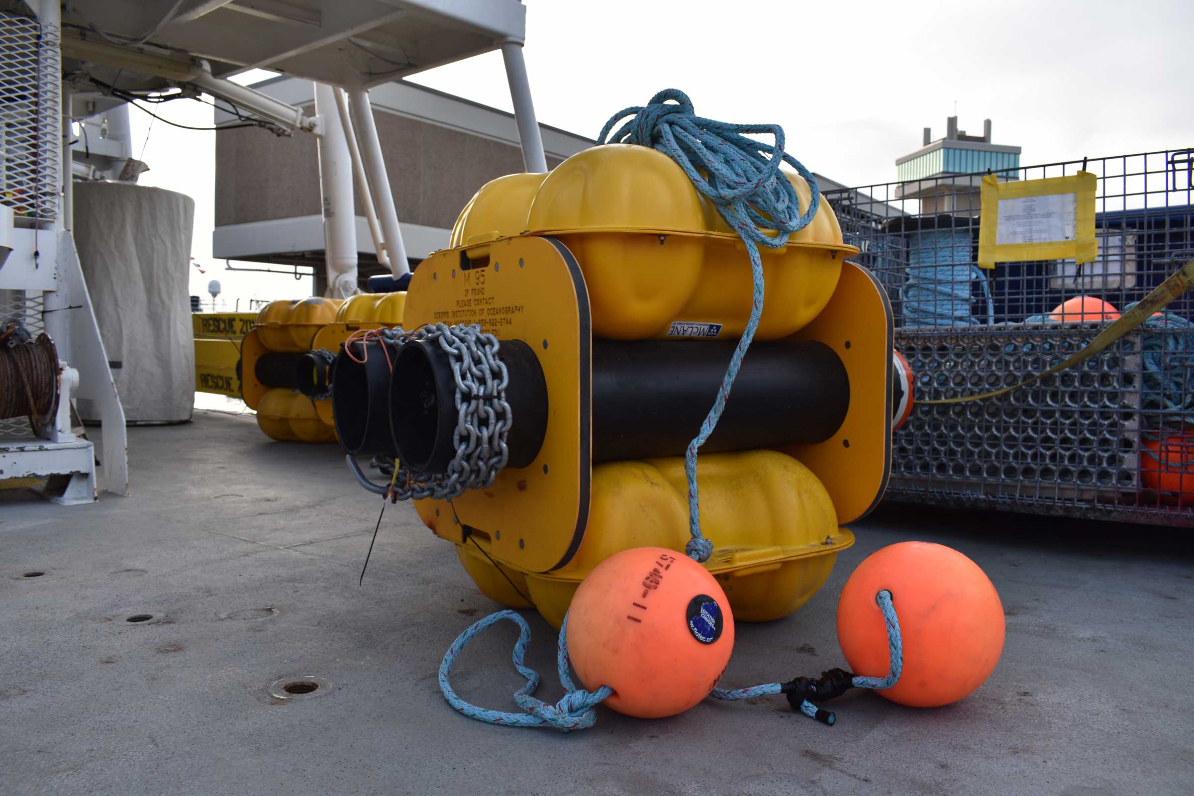
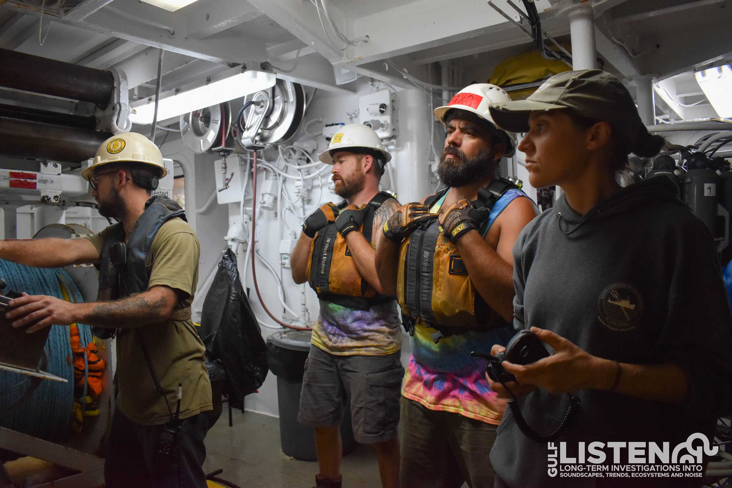
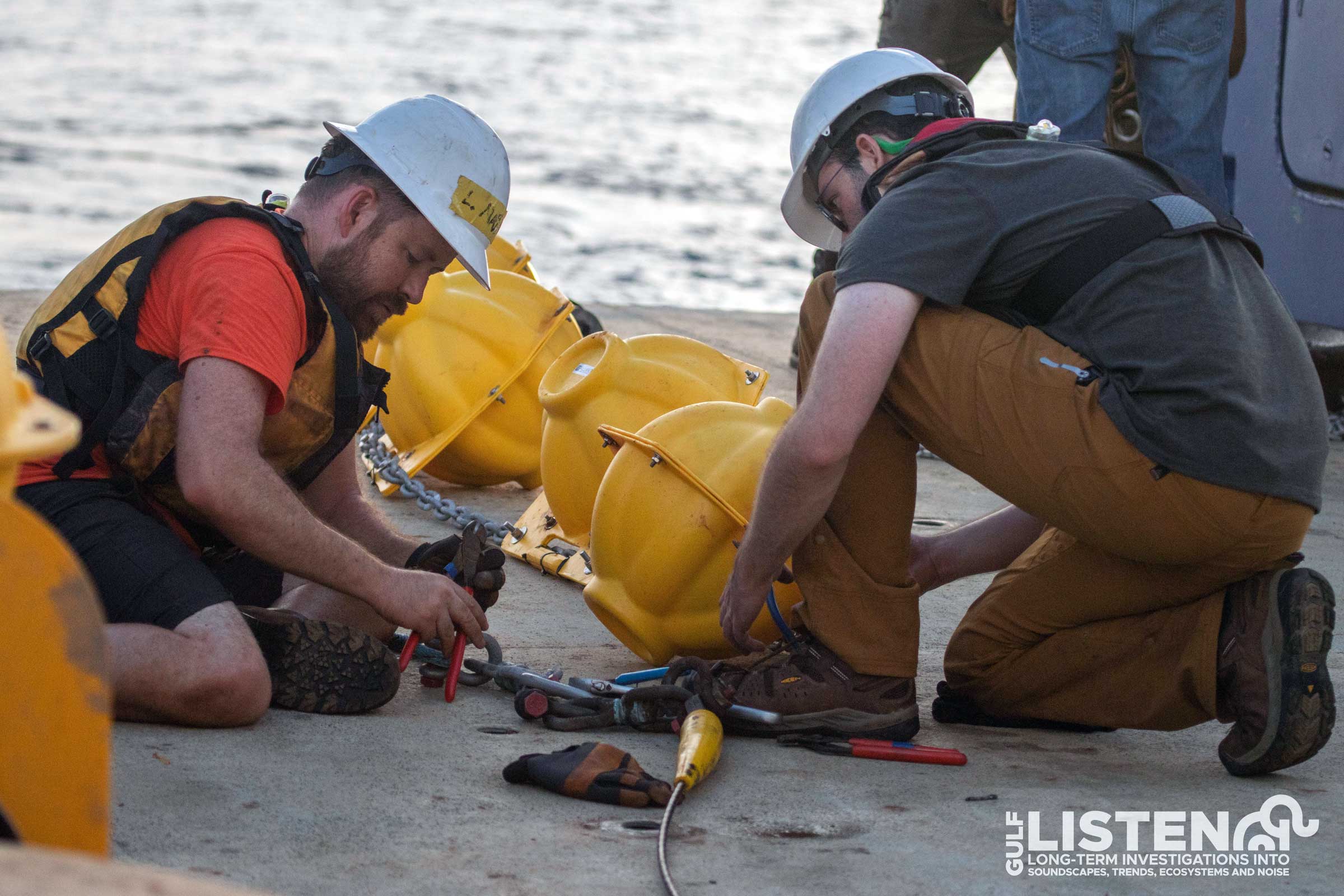
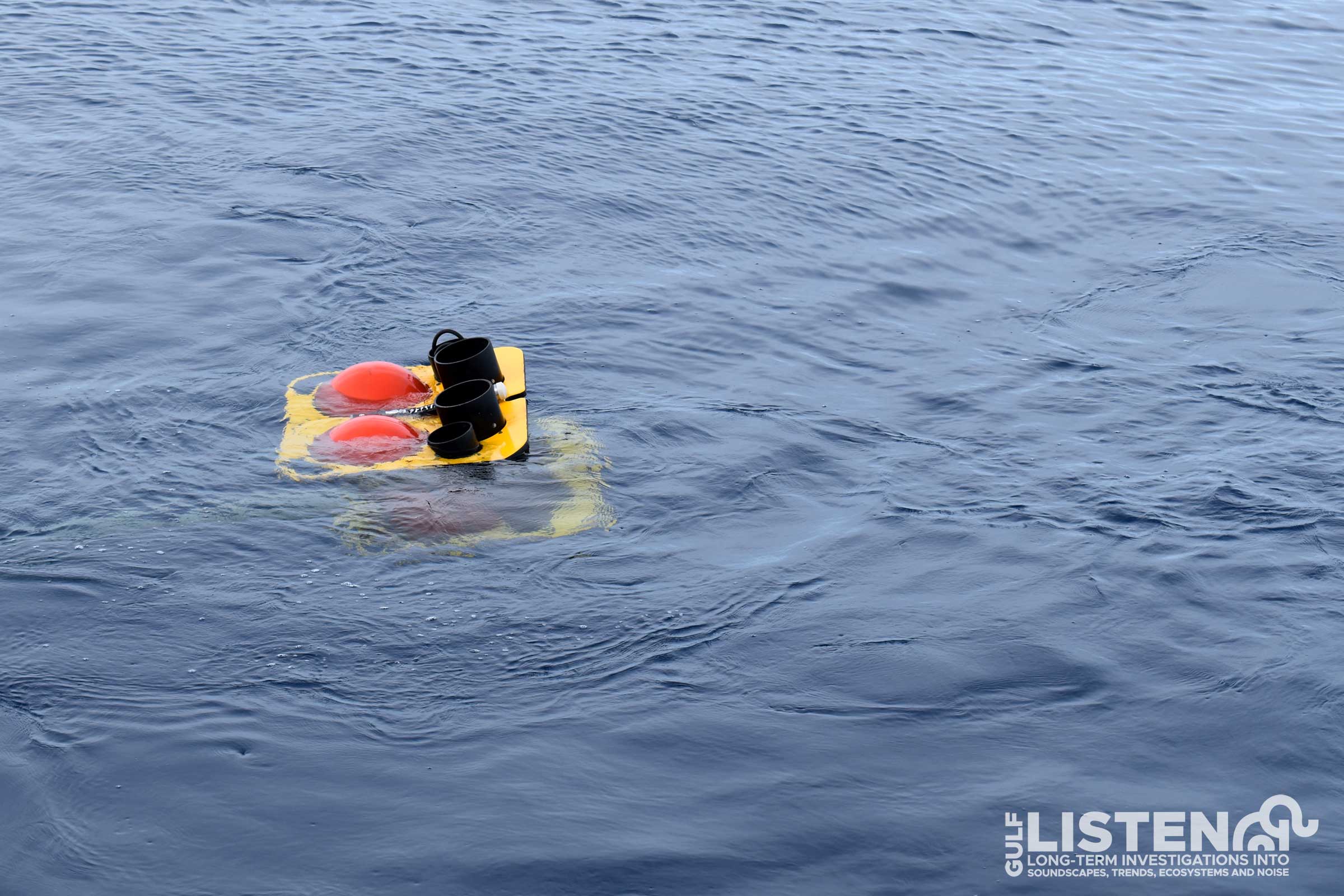
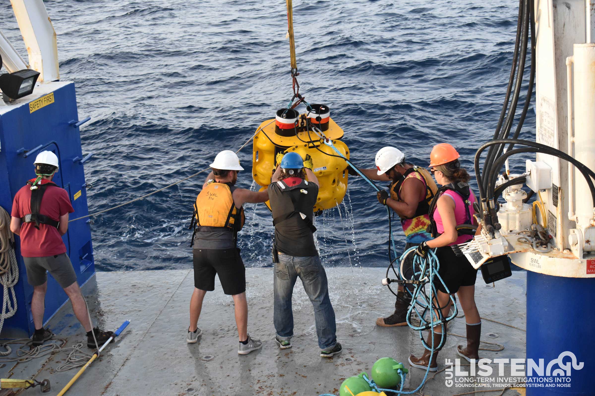
Once we arrive at our data collection site, we put on our safety gear and get on deck to begin deploying our instrument. The instrument goes in the water in the reverse order it sits on the seafloor. First, we put in the floats that keep the hydrophone suspended in the water column. These floats contain a strobe to help us find the instrument in the dark and/or a GPS unit to inform us if the instrument unintentionally surfaces.
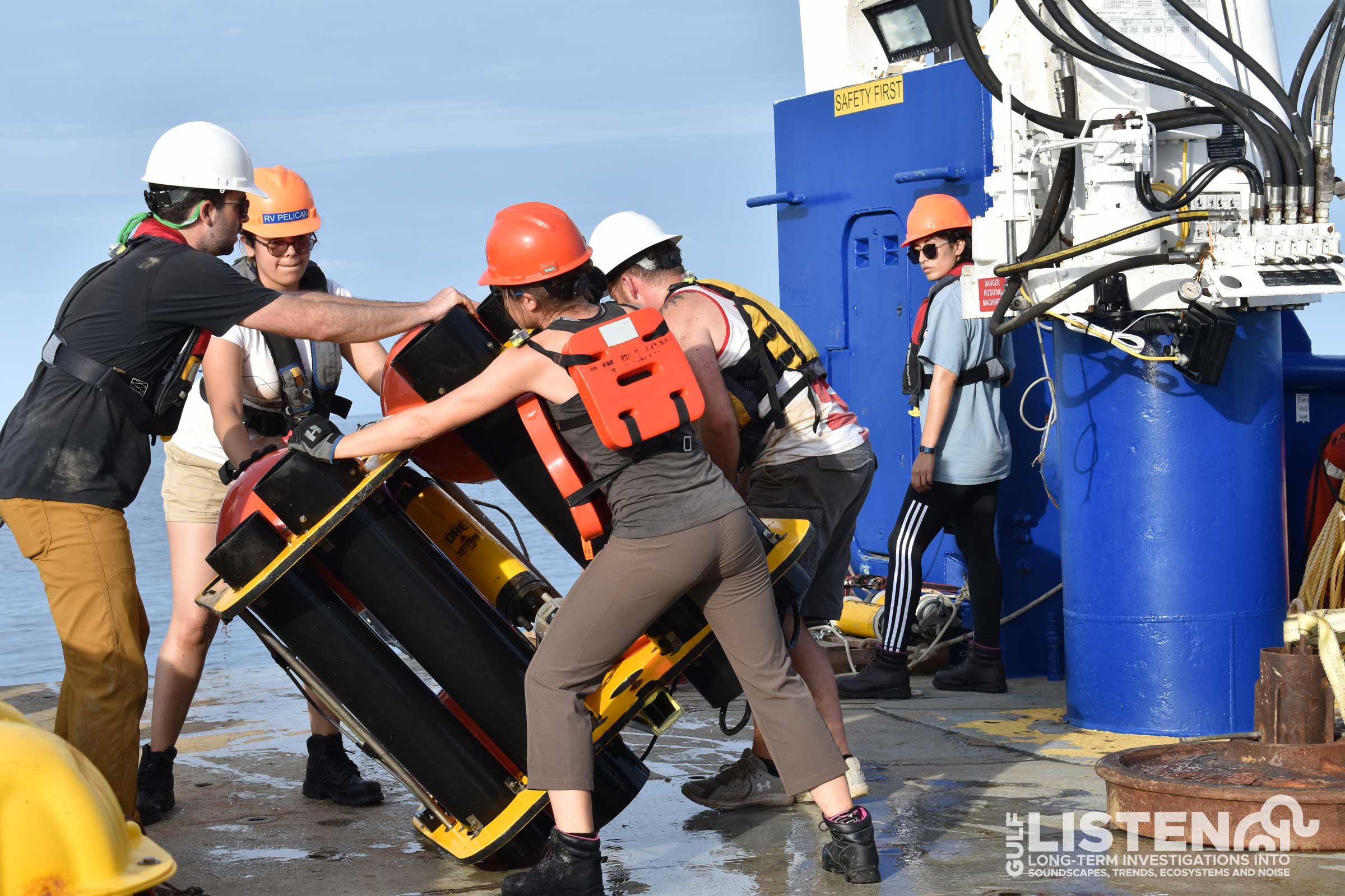
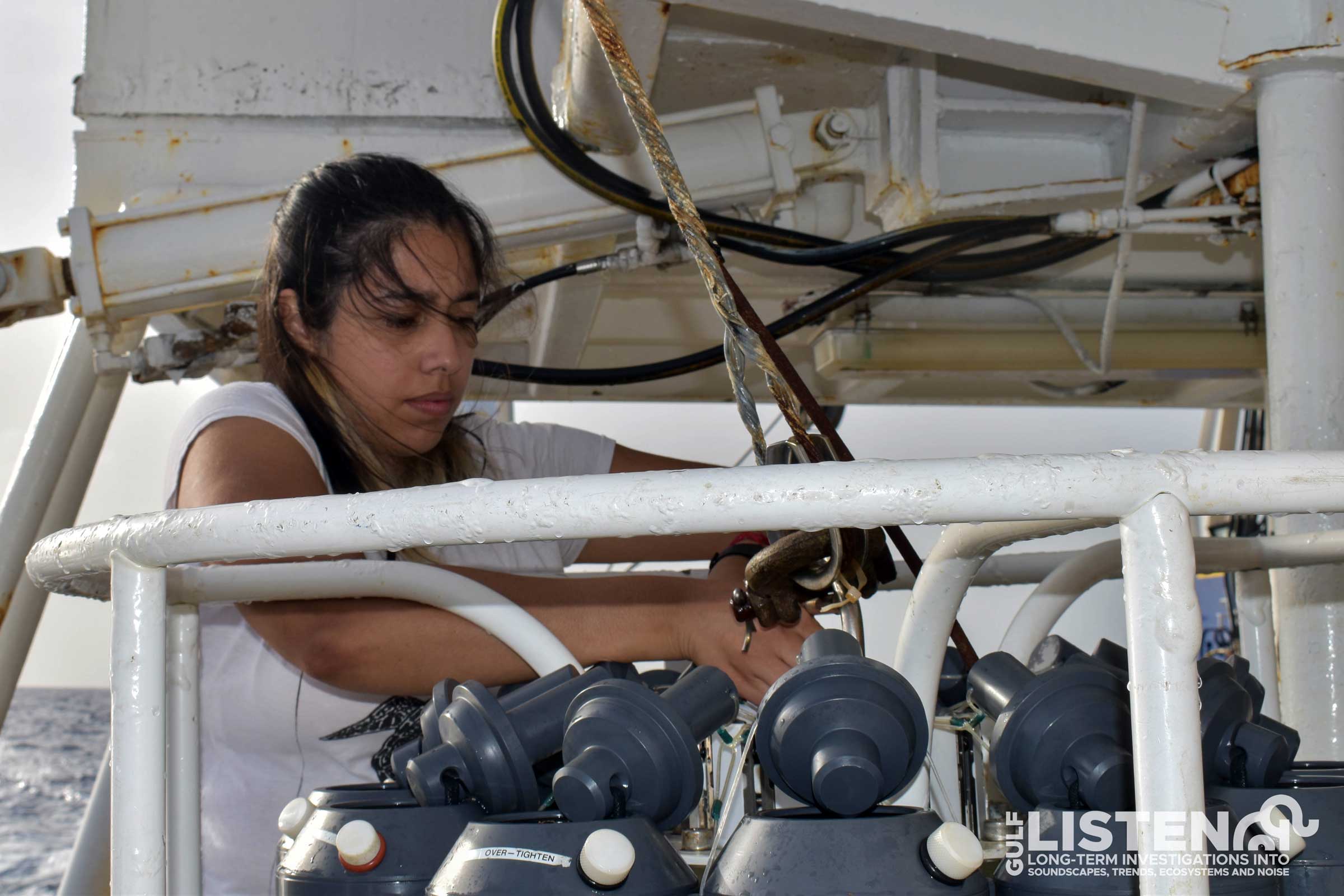
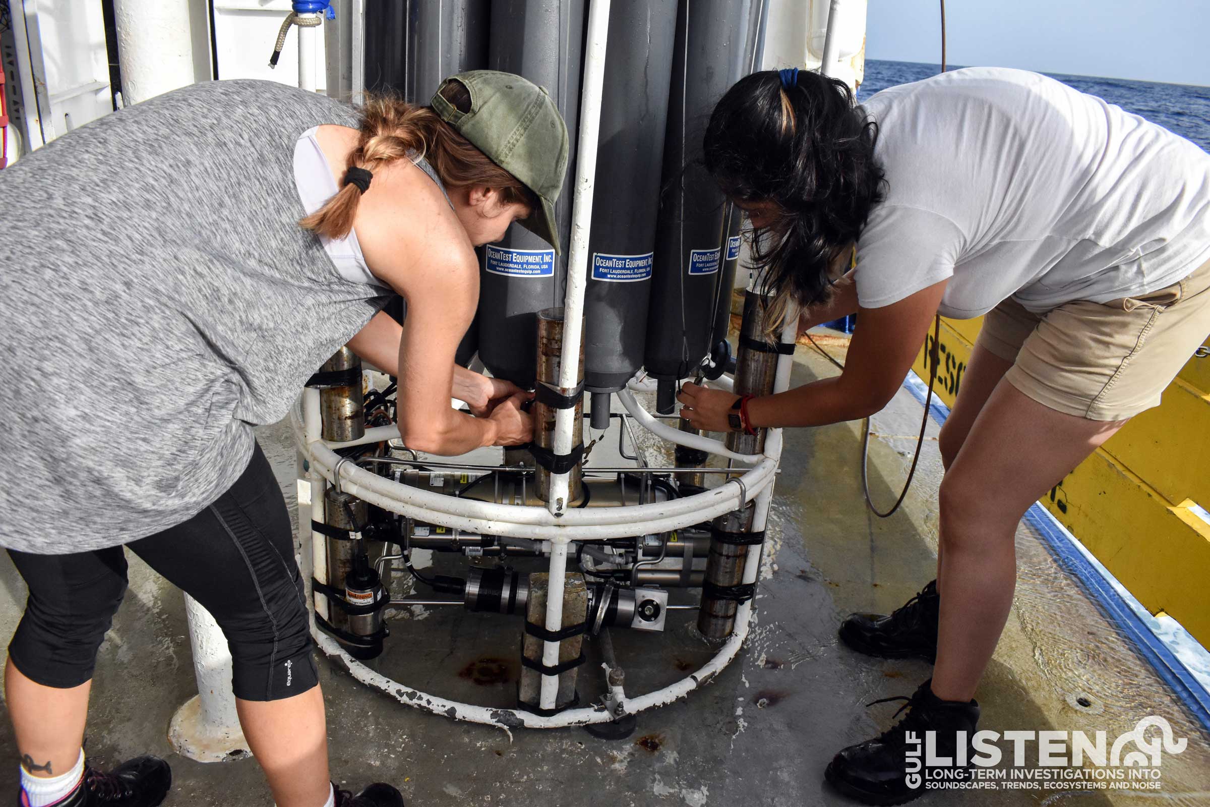
Next, we gently place the hydrophone in the water. The hydrophone is arguably the most important part of our package since it’s the underwater microphone that records the sounds. The hydrophone is separated from the line with a vibration isolation ring that reduces any extra flow noise coming from the line moving in the water.
The hydrophone is plugged into battery power that lives in the main structure of the HARP along with a data logger that digitizes and stores a year's worth of acoustic data. This structure also contains its own set of floats to help it return to the surface when we’re ready to pick it up.
Next, the acoustic releases are placed in the water. The releases hold onto 200 lbs of weights that keep the instrument moored at the seafloor. We use two releases to ensure retrieval of our instruments in case one of the releases fails.
Once the instrument is in the water, we give it some time to sink to the seafloor. We send a short ping at a discrete frequency from the shipboard transmitter to locate the acoustic release. When the release replies to the transmitter it provides us with an idea of how far the instrument is from the ship.
Although we have GPS coordinates for where we dropped the instrument, ocean currents move the instrument as it sinks to the seafloor. Before leaving the site, we use an acoustic trilateration method to understand where the instrument actually landed. This method of surveying requires driving around the assumed location of the instrument to three way points in the shape of a triangle. At each point, we talk to our acoustic releases to find out how far away they are from the new point, based on how long it takes sound to travel between us and them. This helps us hone in on where they might have drifted on their way down to the seafloor. Once we have communicated with the instrument from all three way points, we are able to localize the instruments landing position on the seafloor.
View full instrument recovery timelapse